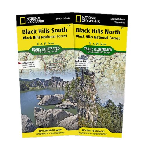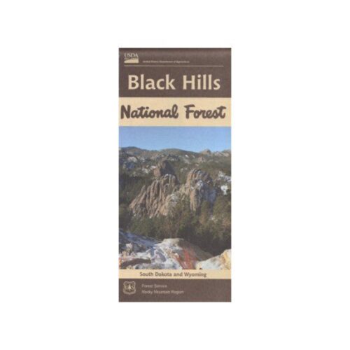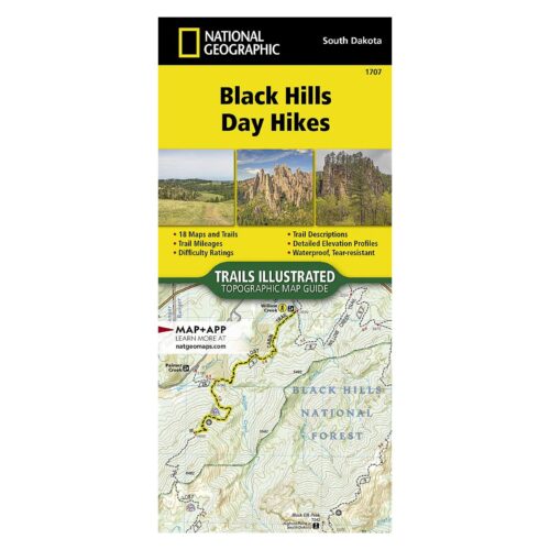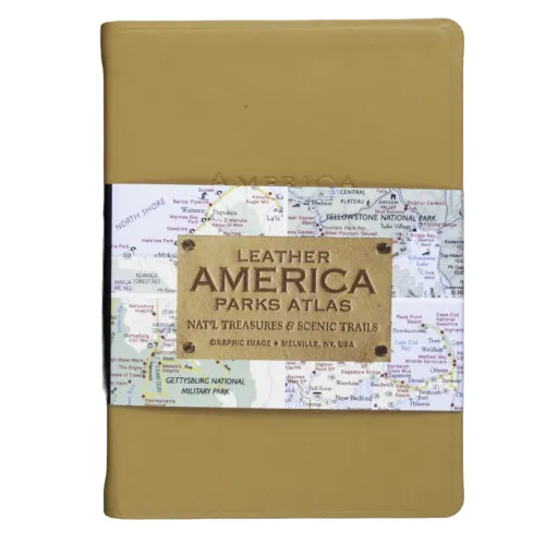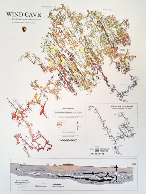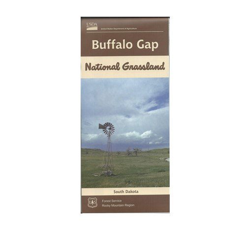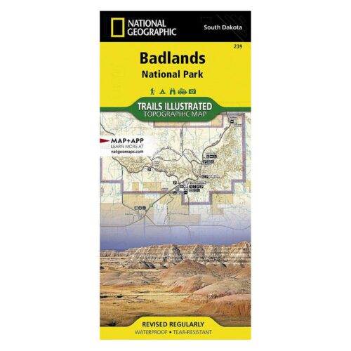
Discover the perfect guides for your Black Hills adventure in our Maps and Atlases category. Our collection includes detailed maps and comprehensive atlases to help you navigate the stunning landscapes, hiking trails, and attractions of the Black Hills region and our partners in Western Nebraska.
Whether you’re planning a hiking trip, a scenic drive, or a historical tour, our maps and atlases provide the essential information you need. Shop now to ensure you have the best tools for exploring this beautiful area with confidence and ease.